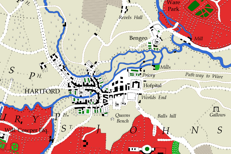
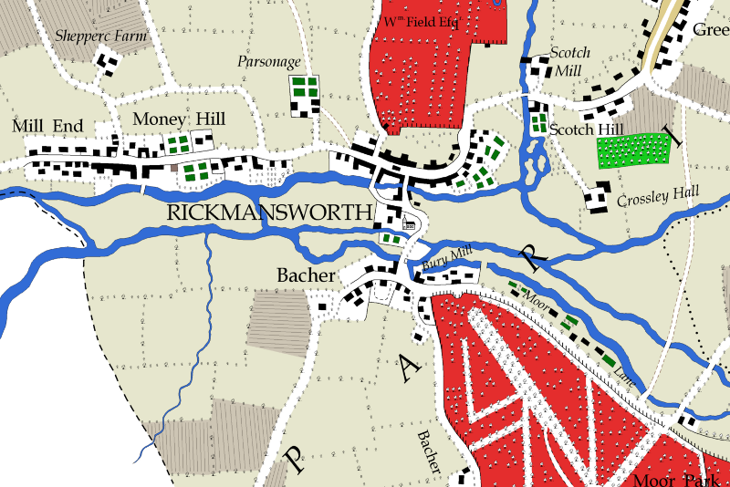
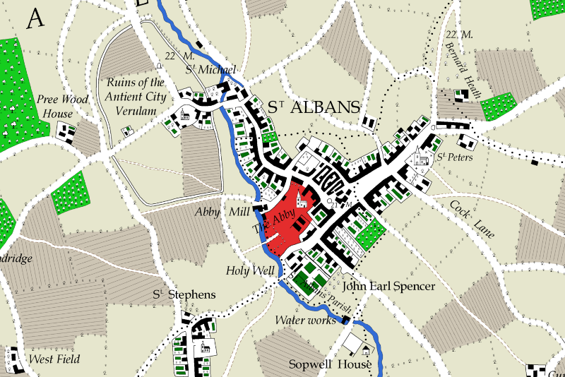
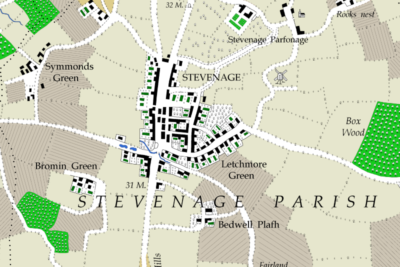
The Map
The original map, 83 by 62 inches, was published in 1766 in nine sheets at a cost of £1 16s. 0d. whereas copies in good condition now fetch several thousands pounds at auction. The map continued to be printed until at least 1822 by William Faden, the London cartographer. A good facsimile was published by the Hertfordshire Record Society in 2004 but, again printed in individual sheets, it fails to give an overall impression of the landscape of the county.
The digital redrawing presented here is an exact copy of the original except that the hachures, used to show hills and vales, are omitted. Colours have been used allowing us to see landscape patterns within the county.
Extracts from the redrawn map
Please click to enlarge. Note that the sharpness and quality of the printed map far exceeds what can be shown here.